Ushuaia360
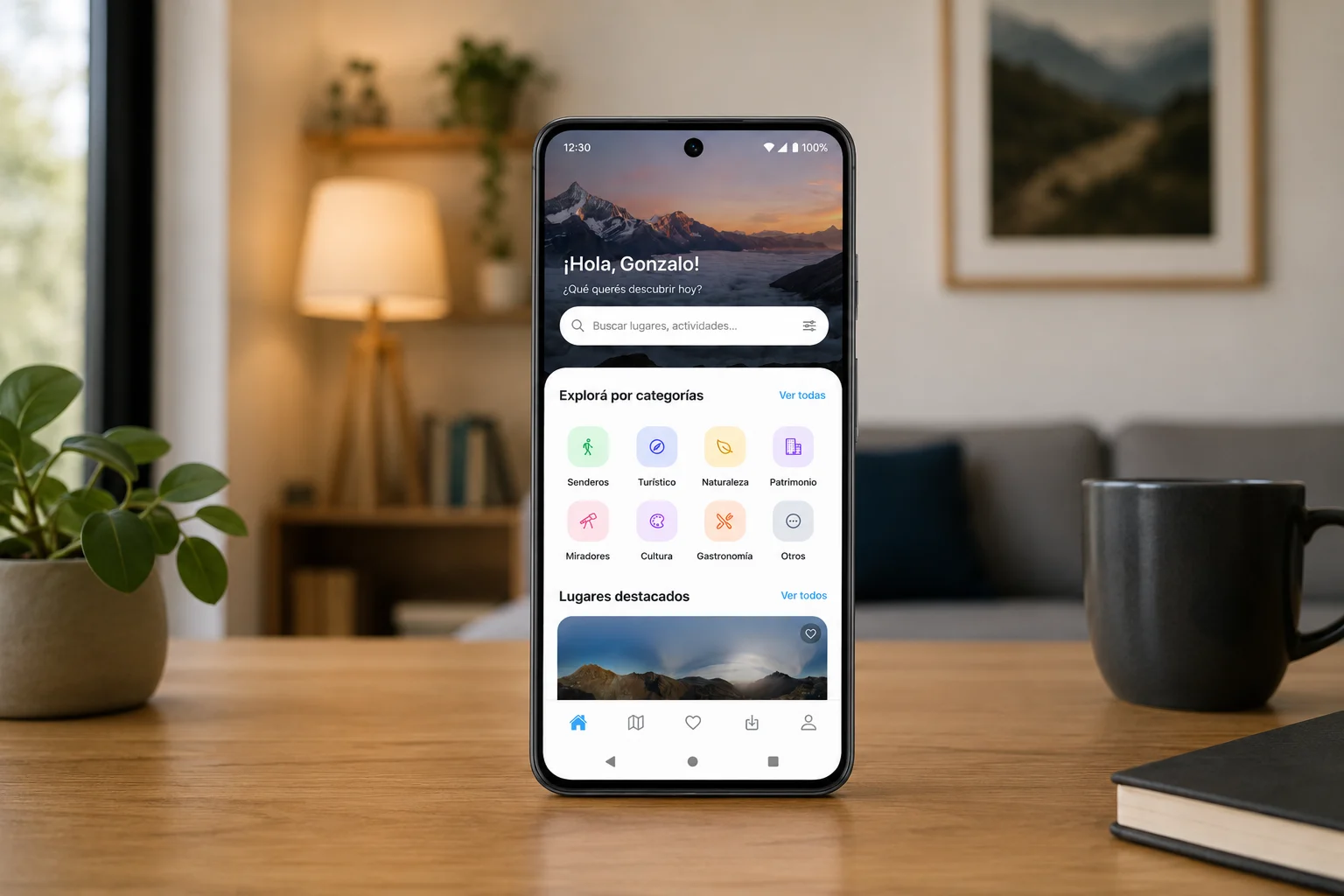
Ushuaia360 is an offline hiking app for the end of the world. Trails mapped with GPS precision, 360° views of every key point, and navigation that keeps working when the signal dies. Tierra del Fuego in your pocket before you leave town.
— The Challenge
Ushuaia is the end of the world, and that is exactly where the signal dies. Hikers and tourists needed a way to explore Tierra del Fuego with mapped trails, 360° views of key points, and navigation that still works with no coverage. The product had to feel like the landscape: precise GPS, honest difficulty, and the trail in your pocket before you leave town.
— The Solution
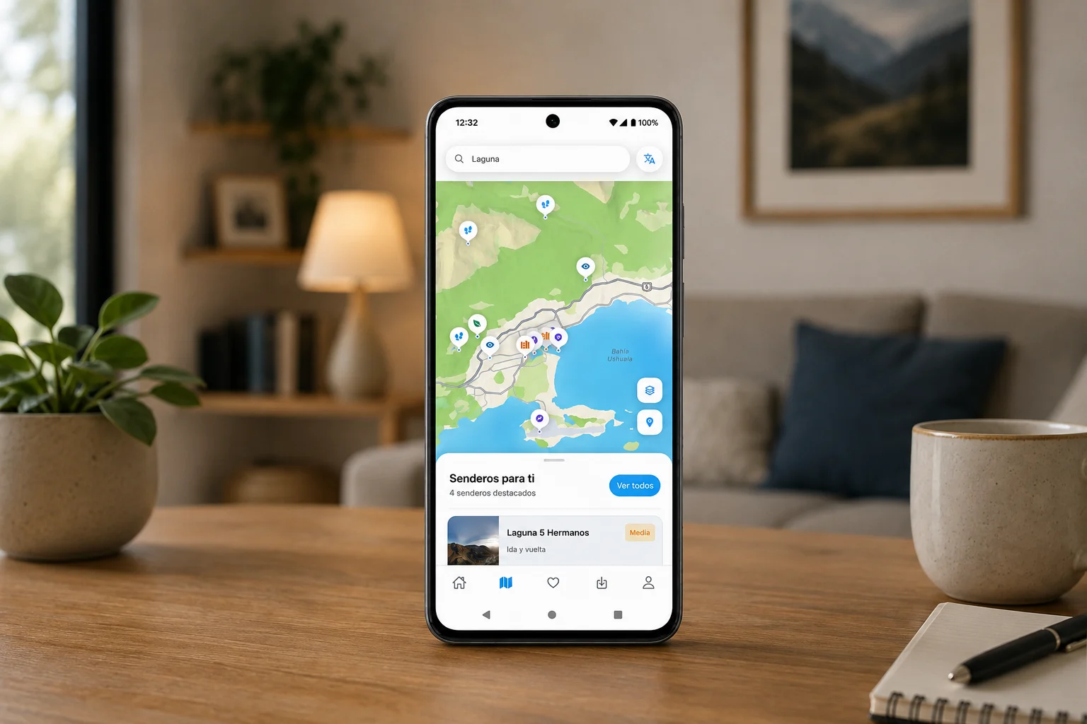
We designed and built Ushuaia360, a mobile app for trails and tourist places at the end of the world. Each trail includes GPS traces, waypoints, distance, elevation, and difficulty. Immersive 360° photography lets people preview a point before or during the hike. The core mechanic is offline: download the map, the trace, the info, and the 360 photos, then walk with no signal. A companion web admin manages trails, media, waypoints, and places.
— The Process
We built the product across mobile, web, and API: an Expo app for iOS and Android with map and list modes, trail detail, 360 content, and offline downloads; a web admin for trails, GPS traces, panoramic photos, and points of interest; and a backend that stores routes, segments, waypoints, and media. The experience is organized around two home modes, map and list, so visitors can scan the landscape or browse trails like a field guide.

Key features
- 01Trails mapped with GPS precision
- 02360° views at key points
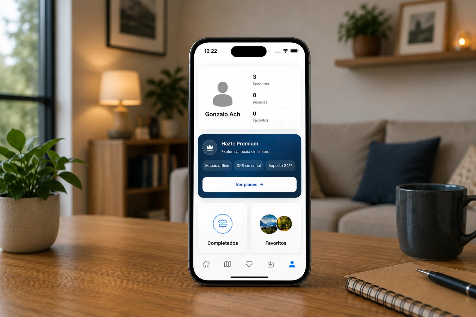
- 03100% offline navigation, no signal required
- 04Distance, difficulty, and elevation per stretch
- 05Map and list browsing
- 06Tourist places and viewpoints
- 07Trail downloads for offline use
- 08iOS and Android
The Result
Ushuaia360 is live with 40+ points, 360° views, and full offline navigation. Trails are mapped with GPS precision, including difficulty and elevation for every stretch. The app is available on the App Store and Google Play, with a public hub at ushuaia360.com.